The past week brought me some fun and some misfortune. It all started on Friday. The subject of my wine study group was Burgundy this week, one of my favorite regions. I brought along a 1995 Dominique Laurent Vosne-Romanee 1er Les Suchots. Amazing stuff.
After this I wanted to go mountain biking before heading back down to work. I started at Heil Ranch on the Wapati trail, planning to ride up it to Ponderosa, take a right there to Wild Turkey, take a left on Picture Rock, turn around at the bottom, and return. All was going according to plan until I my front wheel washed out going down Picture Rock and I crashed hard.
I landed on my right side, abrading my elbow pretty good. I thought I hurt my leg also, but the main worry was my head. It was one of those crashes where you feel your head snap against the ground, and my ears were ringing loudly. My helmet looked ok, in fact I cannot see any impact on it, but I know it is time to replace it. I had to sit for about fifteen minutes for the ringing and nausea to go away. Not fun. Then, when I got up, my leg hurt so much I thought I might have broken it.
I sat back down and assessed the situation: It was four plus miles down Picture Rock, plus probably 6-8 more on the road to get back to the car, or I could just turn around and take it really easy and ride back. I could stand and put some weight on my leg and since I had fallen like this before and felt a similar but less intense pain, I felt like it was ok to proceed. So back up and then down I went.
I was majorly sore the next day, but felt progressively better on Sunday and Monday. So I decided to go for it.
I tried to get to Dragons Egg Rock last year, on a very long day that took me to
Keplinger Lake. I went east from the lake and made my way to the massive south facing flank of
Mount Meeker. I headed around, but I had two problems.
The first was that navigating the drainage between Keplinger and Meeker took me a tremendous amount of time. The second was that I wasn't even sure where Dragons Egg Rock was or what it looked like. The book said it is defined as a single closed topo loop on the south side of Meeker, but this was right where the page joined another and I couldn't tell what to look for in the crack of the book.
Later I looked it up at home, and while I could find very little information about it (like a picture- see below for one), I could see on a better topo where I should have been. I didn't get to it, but I did get pretty close- I would guess I was less than half a mile from it.
I started out at 808am on April 10th from the
Sandbeach Lake trail head. My research into possible ways to do this hike led me to two different routes. In the end, it made more sense to me to stay on this trail until I hit Hunters Creek and then follow it up.
Hello dear deer.
The trail was completely dry and in great shape up until the summit of the moraine. From here until Campers Creek I hit intermittent snow.
Snow on the trail.
It was pretty well packed and completely walkable in hiking boots only. From Campers to Hunters it was consistent packed snow. Again, I did not use any traction devices here, and the trail was quite easy to follow.
Stopped at Hunters Creek for a snack.
I strapped on my snowshoes here and started to follow Hunters Creek up. Stay on the east side of the creek, and if you do happen to do this once the snow has all melted, there is an unofficial trail here that follows the creek up.
Here the going got difficult as the ground gets somewhat steeper and the snow was not packed at all. I kept looking north to try to determine where I was in relation to Mount Meeker. For a long time all I could see was trees on a steep hill side above me. I continued on until things started to look like this...
The first signs of Meeker and the first sight of my goal of the day.
Once I could see Dragons Egg Rock, I basically struck a path toward it. I would intersect with the couloir near the bottom and follow it up. In retrospect, I don't think this was quite the right way to go, though in one area where the snow had melted completely I did find what looked like a trail. There were some steep hills in worsening snow conditions, and I feel like I should have stayed along Hunters for a little longer before heading north. But live and learn.
The south face of Meeker, close up on Dragons Egg Rock.
I was noticing my lack of conditioning so far this year, along with some pain from my hip post crash. Along with mushy snow, my pace slowed to a crawl.
Looking down into Hunters Creek drainage from the south face of Meeker.
Are we there yet?
Closer still, and the cliff face right in the middle is Dragons Egg Rock. There is significantly less snow than last year.
Taken in June 2011 (I think), quite a difference.
A pretty neat thing to take in is how large Meeker really is. Once you reach the base, it literally takes up the entirety of the view to the north.
I was expecting the couloir to be full of snow and to be able to glissade down. No such luck, though I guess it did make the ascent easier. Here I stayed on the tundra to the right of the snow. When I got close to the cliff face, I carefully crossed the snow and then made my way west along it. I turned North and summitted the feature from the north side. This is where you will find the only second class on this hike.
I feel it would be entirely possible to ascend by continuing on the east side of the feature, but this would give you some talus to work through and this is where there was still heavy and steep snow that I descended through.
Sandbeach Lake from way above. Still looks pretty frozen, but should be melting quickly.
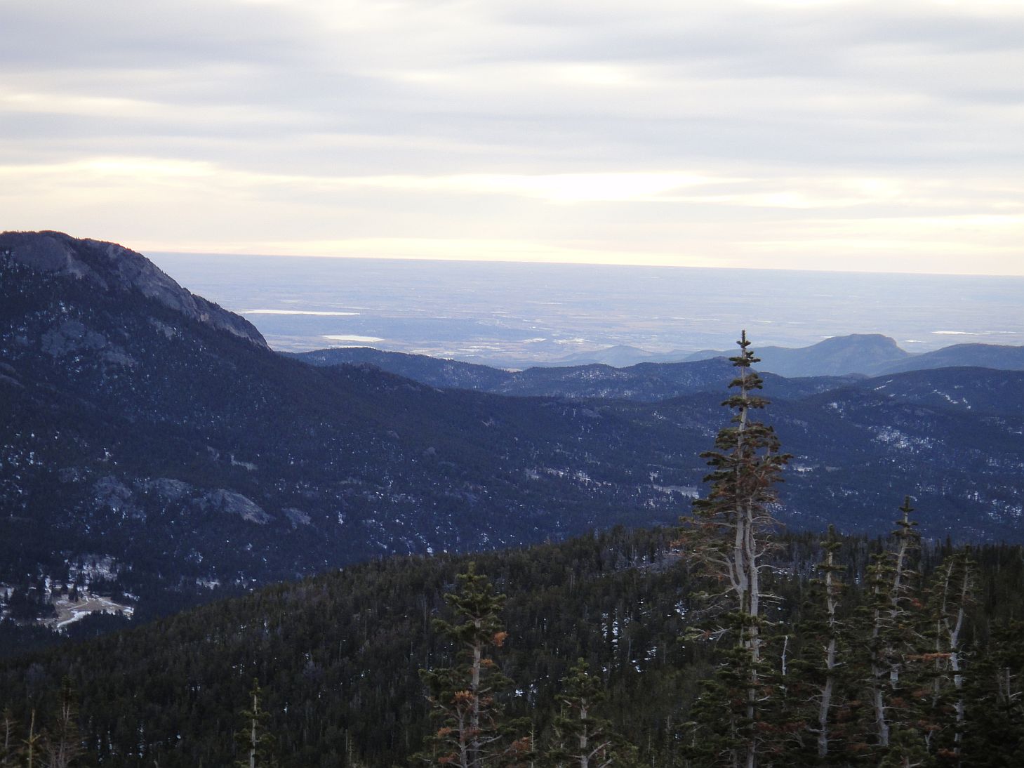
Indian Peaks Wilderness and points south from Dragons Egg Rock.
Looking into the heart of Wild Basin- Mount Copeland, Ouzel Peak,
Mahana Peak, Isolation Peak. Frankly, this view made the entire hike worthwhile.
Yours truly on Dragons Egg Rock at 12200ish feet.
Continuing up the couloir could be a fun but lengthy way to ascend Meeker.
Panorama looking south. What a view!
Despite the general lack of snow, I did try to glissade, and it worked kind of in places. But eventually I decided it was taking too much effort and not worth it, so I moved back to the tundra and continued down.
I mention that on the way up I felt as though I didn't take the best route. On the way down I stayed in the couloir the whole way. I think this was better- the rise seemed like it would be more gradual, and there was less snow and bushwhacking to contend with. If you do this hike, I would advise to stay along Hunters Creek until the view north looks something like this..
You will come to a more open area that looks like this. From here, head on up.
Here is what it looks like a little bit higher up. Much more manageable terrain.
Dragons Egg Rock.
Once I got near Hunters Creek, I was hitting enough snow to put my snowshoes back on. Now it was afternoon, and the snow conditions had gotten worse. I was constantly post holing, and slogging through melted snow was not fun. But eventually I did make it back to the Sandbeach Lake trail.
I took off the snowshoes here. The trail was about a foot of hard packed snow in the middle, but when I happened to veer off that, even by a few inches... post hole. Well, it was not bad enough for me to put snowshoes back on, and my hip was feeling a little better not wearing them, so I continued on.
I saw this newly broken tree right next to the trail. It looked pretty neat.
This tree is on the Sandbeach Lake trail pretty close the the trail head. It looks like it should be in front of a haunted house or something.
I finally made it back to the car after a long day at 707pm, giving me eleven hours for the day. I think with improved conditions in the summer and self, I would be able to knock a few hours off this time.
This is a pretty fun and challenging hike, with a great view at the destination. I think it would be easier to do once all the snow melts out.
This feature was named by RMNP ranger Jack Moomaw (for whom
Moomaw Glacier was named) in 1921. Why Dragons Egg Rock? I guess we will never know.
Dragons Egg Rock via Hunters Creek:
5.5 miles one way, 3860ish foot gain. Strenuous+ due to elevation gain and snow particularly after leaving Sandbeach Lake trail. Summer conditions would take this down to strenuous or strenuous-, but there is still significant gain in the last 2.something miles.