Showing posts with label castle rock. Show all posts

Tuesday, December 16, 2014

Castle Mountain and area, Oldman Mountain, and Deer Ridge East.

A few weeks ago I was looking at my tally of hikes for this year.  Though I've had fewer entries here, I have been able to string a number of things together, and have, in less days, been able to nearly equal the number of new destinations in RMNP that I did last year (110 in 2013 vs 100 thus far in 2014).  
I also started counting my mountain bike rides for the year, and found that I was getting close to 100 there as well.  The late season goal became to do 100/100, and it was just two weeks ago that I was able to finish this goal off.  Deer Ridge East was my 100th destination for the year in RMNP, and an old favorite, Hall Ranch, was ridden a few days later to hit 100 days mountain biking for the year.
Unfortunately, a few days later I headed out for ride number 101 and crashed hard, breaking my helmet and sustaining a minor concussion in addition to the normal scrapes and bumps.  Worst of all I sprained the AC joint (the ligaments that hold the collarbone to the shoulder), which means I can't carry a backpack or ride.  Thus my 2014 is pretty much over.  Ah well, it's been a fun one, and at least this accident happened after meeting those goals.
I started out this day aimed at Castle Mountain.  Since I knew it would be a shorter day out, I didn't set my alarm for 3am.  Getting up later was pretty great.  When you reach Estes, continue on 34W past the Stanley Hotel.  Right around when 34W intersects with 34 Business, look for parking on the right/north side of the road.  There are two pullouts, a smaller which is before the intersection, and a larger which is right next to the intersection.  From the larger, walk east on 34 and look for the start of a trail on your left.  A trail starts directly up from the smaller parking area.  Either way, you should cross into NPS land almost immediately.
This is another area where there are a multitude of trails leading every which way, and I found it better to just pick the general direction I wanted to go and head that way.  The bushwhacking is not bad at all. 
Pretty forest and Lumpy Ridge-esque rock.
You may cross or stay briefly on an old jeep road or two along to way, but you'll generally want to head north to get the elevation and then west to head toward Castle Mountain.  It looked like some harder, cliffy stuff could be faced if you headed directly northwest from the parking.
Since this area faces directly south, it was clear of snow for the most part, and I imagine it would stay that way throughout the winter, provided there wasn't a recent storm.  
Oldman Mountain becomes visible on the left.  
And I could see what would become my 100th named destination in RMNP for the year, Deer Ridge East.  It is certainly alot more spectacular than Deer Ridge West!
Once you reach a place where the terrain starts to flatten out, you can start to head west to the summit of Castle Mountain.  Work though and around some rocky areas, and ascend to the summit from the north.  Of course I encountered some snow on this north facing slope, but it was minor.  There are some sections of second class climbing along the way, but take your time and pick a safe route and you'll be fine.
All the lumps of Lumpy Ridge.
Here is Castle Rock as seen from Castle Mountain.  This unranked high point is to the east.  It looks impressive!  Simply head back the way you came and continue toward it.  You can stay north of the rocky stuff pictured before it and avoid anything difficult.
A zoom in on one of the many post flood mudslides in the area, seen on Lumpy Ridge.
Here's another big on on McGregor Mountain.  Both of these slides ended up washing into Black Canyon Creek.  It was crazy to see the devastation.
Again, I approached Castle Rock from the north side.  The south side ends in steep cliff faces.  This gully provided a relatively stable second class walk up, but ended with a third to fourth class squeeze up a chimney, or a third to fourth class way around that, with a short climb up a slab and then a somewhat daring (in the snow that was there!) large step across the gap at the top of the chimney.
I did the slab and step across on the way up, and then dropped into the chimney on the east side on the way down.  That felt a bit more stable with the small amounts of snow in the area.
From here I could see my next goal- Window Rock.  Apparently, the easiest route to the summit is 5.0, which with a partner might be soloable.  But since I was alone...
From Castle Rock to Castle Mountain and beyond.
It looked like I could find a way up, but took that soon became too hairy for me.  I went back and down and then up and then down.  I eventually found a way up to the window.  I would say even getting to the window itself requires some third to fourth class movement with a little bit of exposure. 
The window.
Here I am standing in the window, looking straight up.  A pretty neat feature!  Glimpsing though the window to the east yielded some good views of Lumpy Ridge and Estes.
Looking west, I got some great views of the minor peaks on the east side and the snow capped peaks of the continental divide.
I looked for a different way down, but decided to return to my method of ascent.  Then it was simply head south and west as I could to get back to the car.
There are lots of interesting rock features in the area, in addition to some very hard climbing.
I got back to the car and took off for the next stage of the journey: Oldman Mountain and Deer Ridge East.
You'll want to get on 34 Business, and look for Old Ranger Drive on the south side of the road.  Turn onto this street, and follow it until the end.  You'll hit a gate with a turn around marked no parking on the left.  Turn around and park just down the street from this turnaround, taking care to get your vehicle off the road as much as possible.  Since you'll be able to get cell reception for most of the time you are up here, it would be nice to leave a note on your dash with your phone number in case.  The owners of the property beyond the gate allow hikers to pass through.  Please be respectful of this private property.
Once past the gate, pass the cabins and look for a trail on your right.  This will take up up a gully.  Near the top of this gully, look left.
You'll see this huge boulder on some slabs.  It looked a whole lot like Meatwad to me.  Head toward this boulder.  I found it easy to just head toward the high point in general.  As you get closer, you may find some more difficult terrain.  At this point, move right and circle around north.
You'll come upon this slabby crack which is the definitive crux.  Ascend this easy third class crack and find the summit shortly after.
Look north to enjoy views of Castle Mountain and area.
To get to Deer Ridge East, I headed back down the same way I'd come.  I picked up the dirt road that I left and simply headed up. 

Views of the west side of Oldman Mountain.
Continue up as the road shrinks to a trail.  You'll reach an intersection with four different options if memory serves me correctly.  You want to take NOT the left most option, but the second to left most.  It heads the wrong way from Deer Ridge and heads into forest, but does not loose elevation.  The next landmark you'll see is some heavy plastic coated electrical wire wrapped around some trees on your left.  I suppose this was used by a property owner to mark their property.  Do not cross.
In a short time and with a little bit of elevation, the trail will gain the ridge line and turn to head west. 
Deer Ridge East getting closer.
I spied Ptarmigan Glacier quite well covered in snow.
Within maybe 15-20 minutes, you will see some signs and cross into RMNP.

There it is!
If you look at a topo, you'll see that the trail curves to the north and looses some elevation around Deer Ridge East (point 8763).  When this started happening, I took off to the left up the snow covered slopes.
Again, a few second class moves are required near the top.
And there I was, the 100th named destination of the year.  A snack was had along with a few minutes of reflection. 
I could see the wind was absolutely ripping to the south on the higher peaks.
I turned back and headed down.  It felt like it took a much shorter time for me to get back to the trail than it did for me to get to the summit from the trail.  I suppose that is how it often goes.
I interspersed some jogging with hiking on the way down, made it back to the car in a very reasonable time, and then drove back down to Longmont.
This was a good day.  I think places like Castle Mountain would be good destinations if you are trying to get off the beaten path a bit yet still want some challenge in the short and steep category.  Oldman Mountain and even Deer Ridge East aren't as difficult in terms or elevation gain or technicality.  But this would be a fun alternative to access Deer Mountain.  As you can see, these minor peaks also provide greats views of many of the higher peaks in RMNP, Estes Park, and the surrounding areas such as Lumpy Ridge.  I would actually suggest Castle Mountain as an off season hike (not summer).  I imagine during summer it will be sweltering since it faces directly south.
Castle Mountain and area, Oldman Mountain, and Deer Ridge East:
Castle Mountain, 8834 feet: .8 miles each way, 1134 foot gain.  Second to third class.  Moderate+.
Castle Rock on Castle Mountain, 8669 feet: .5 miles each way, 969 foot gain.  Third to fourth class.  Moderate+.
Window Rock, 8530 feet (summit): .6 miles each way, 830 foot gain.  Third to fourth class to the window, 5.0 to the summit.  Moderate+.
Oldman Mountain, 8310 feet: .3 miles each way, 510 foot gain.  Third class.  Moderate-.
Deer Ridge East, 8763 feet: 1.25 miles each way, 963 foot gain.  Second class.  Moderate.

Love!
Thank you for reading.  Look for my 2014 wrap up to come soon!

Thursday, July 11, 2013

Castle Rock, Gable Gate, Primrose Pond, and Loomis Lake.

*A later edit...  Every time I mention "The Gable" in this post, I am actually talking about Gable Gate.  I did not know at the time that these were two separate things, and Fosters book doesn't give a goo distinction.  Gable Gate is easier and higher- it is the true high point at the end of the ridge.  The Gable is lower and more difficult (4th class).  It is not the high point at the end of the ridge.
With the typical summer weather of Colorado arriving, we're now contemplating even earlier wake up times for the high altitude days.  The trouble with this for myself being that I work on Monday evenings, and the earliest I can reasonably get to bed is 11pm.  Last week proved that the early wake ups after just a few hours of sleep don't do it for me.  
So we settled on something a little less high, but still bushwhacky and scrambly at times.  I tried to get up to Loomis Lake in March, but turned back in thick forest and waist deep snow on steep slopes.  Now it is all melted and time time has come.
Fern Falls.  Last time I was here, it was frozen.
It was quite a bit easier to get to Spruce Lake now that there was a trail the whole way.  Castle Rock on the right and Gabletop center.
There is a trail, albeit faint, that heads up along the creek running down from Loomis Lake and Primrose Pond. 
A small and scenic water fall along the way up. 
Things level out a bit, and you happen upon Primrose Pond.  The trail goes right next to it.
We had planned to first reach Loomis Lake, and then set out for Castle Rock, then The Gable, then make our way back to Primrose Pond or pick up the trail at some point between it and Spruce Lake.  But we noticed Loomis Lake was somewhat below us, so we decided to just head up to Castle Rock directly, rather than loose and regain that elevation.
Bushwhacking up the slope brought us to a ridge, with some exposure to the north.  We simply followed this ridge along until we reached the high point.  And yes, it is only class 2 despite the looks from below.
Some notable names in the summit register. According to it, we were the first two here in 2013.
And this...
Someones summit register from 1951!  Though I feel if this stays up here, it will certainly continue to degrade.  It should be taken and given to the park for preservation. 
This high point on the ridge offered some great views, here of Spruce Lake with Mt. Wuh and Steep Mountain in the background.
Looking across to the ridge that holds The Gable.  It was hard to tell exactly what the high point was, and I am pretty sure it is off camera left in this photo.
The ridge extends from Gabletop Mountain, here seen over Loomis Lake.
Stones Peak.
Back west along the ridge we'd taken.
North.
And more fun exposure.
We did see a few cairns up here, and took a different route down attempting to follow them.  Of course we lost them and just ended up descending.  It looked like we were going to end up back at Primrose Pond and then head up the The Gable before heading back down to Loomis Lake, but we decided to just contour a bit west when descending and hit the lake first.
A cool point over the lake.
Back up the ridge to Castle Rock.
I have long wanted to jump in for a swim in one of these high lakes.  I was thinking this might be the day, as there was a spot that looked deep enough for me to actually jump in.  In the end I wimped out, and just stuck my feet it.  They almost instantly went numb, but the cold water felt good.
Dan started nodding off as I took in the sights and a snapped a few more photos. 
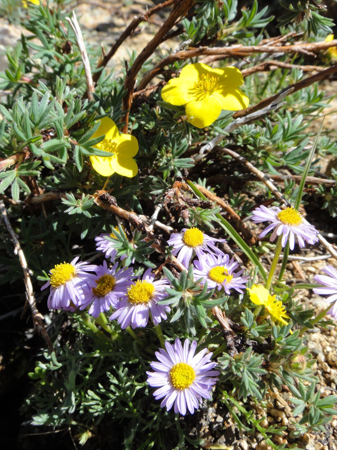
Wildflowers next to Loomis Lake.
We were discussing ascent routes, and spied a few possibilities.  This gully was closest to us, and though it looked a little bit loose, everything did.  So we went for it. 
Up from Loomis Lake.
Well, it worked out fine.  We just spread out to avoid kicking stuff down on each other. 
Near the top of the gully, Castle Rock is hard to pick out with the background.
North to the Mummies.
Dan stops to put on gaiters for bushwhacking protection.
The way to The Gable is heavily krumholtzed, and there is no way to avoid it.  Just push through.  Much to our surprise, as we got closer we noticed three people on top.
Little Matterhorn.
We met them as they were descending the talus pile that surrounds The Gable.  They were heading on to Gabletop.  Conditions looked good for an ascent.

At The Gable, south to Joe Mills Mountain, Half Mountain, and Longs beyond.

Odessa Lake below us.  Looks alot different than the last time we were here and it was still half iced over.
We went out to a lower but wider point and ate.  Here I'm looking back at the high point and the ridge extending west.
Spectacular scenery.
The views of Fern Lake partially obscured.
We decided to take a more direct route down the slope to arrive back at Spruce Lake.  It was bushwhacky and loose, but probably no more so than going back to one of the gullies. 
We eventually made it back to Spruce Lake, had a snack, and for the second time in the day I dunked my feet in for a cool down. 
Castle Rock over Spruce Lake.
Here fishy fishy.  My feet must have smelled like a fish buffet, as several of them came around and circled right in front of us. 

Yum.
At Spruce Lake, we each put in a guess on how many people we would see on our way back to the trail head.  Dan said 50, I said 75.  We got to 60 by the time we reached The Pool, and stopped counting.  Obviously, we were both going to be under.
We got back to a now crowded parking area 8.5 hours after we left the car.  The drive back was the normal Estes Park and 36 in summer.
For an added bonus, I went mountain biking the next day and was able to obtain the summit of Button Rock mountain, giving me three peaks on the week.  Not too bad.
While shorter, this hike does entail some heavy bushwhacking, route finding, a fair amount of elevation gain, and a bit of scrambling.  Be prepared!
Castle Rock, The Gable, Primrose Pond, and Loomis Lake:
To string these all together gave us an estimated 13 miles and 3300 feet of gain for a strenuous- hike.
Primrose Pond: 5.4 miles one way, 1990 foot gain (8150-10140).  Moderate+.
Loomis Lake: 5.6 miles one way, 2070 foot gain (8150-10220).  Moderate+.
Castle Rock: 5.7 miles one way, 2490 foot gain (8150-10640+).  Second class.  Moderate+. 
The Gable: 5.8 miles one way, 2890 foot gain (8150-11040+).  Second class.  Strenuous-.
Along the way you will also pass:
Spruce Lake: 4.8 miles one way, 1510 foot gain (8150-9660).  Moderate.
Fern Lake: 3.8 miles one way, 1390 foot gain (8150-9540).  Moderate.
Fern Falls: 2.6 miles one way, 650 foot gain (8150-8800).  Moderate-.
The Pool: 1.7 miles one way, 150 foot gain (8150-8300).  Easy.
Arch Rocks: 1.2 miles one way, 70 foot gain (8150-8220).  Easy-.
For added bonus the next day:
Button Rock Mountain: 4.5ish miles one way, 1095 foot gain (7350-8445).  Moderate.