*A later edit... Every time I mention "The Gable" in this post, I am actually talking about Gable Gate. I did not know at the time that these were two separate things, and Fosters book doesn't give a goo distinction. Gable Gate is easier and higher- it is the true high point at the end of the ridge. The Gable is lower and more difficult (4th class). It is not the high point at the end of the ridge.
With the typical summer weather of Colorado arriving, we're now contemplating even earlier wake up times for the high altitude days. The trouble with this for myself being that I work on Monday evenings, and the earliest I can reasonably get to bed is 11pm. Last week proved that the early wake ups after just a few hours of sleep don't do it for me.
So we settled on something a little less high, but still bushwhacky and scrambly at times. I tried to get up to Loomis Lake in March, but turned back in thick forest and waist deep snow on steep slopes. Now it is all melted and time time has come.


There is a trail, albeit faint, that heads up along the creek running down from Loomis Lake and Primrose Pond.


We had planned to first reach Loomis Lake, and then set out for Castle Rock, then The Gable, then make our way back to Primrose Pond or pick up the trail at some point between it and Spruce Lake. But we noticed Loomis Lake was somewhat below us, so we decided to just head up to Castle Rock directly, rather than loose and regain that elevation.


We did see a few cairns up here, and took a different route down attempting to follow them. Of course we lost them and just ended up descending. It looked like we were going to end up back at Primrose Pond and then head up the The Gable before heading back down to Loomis Lake, but we decided to just contour a bit west when descending and hit the lake first.


I have long wanted to jump in for a swim in one of these high lakes. I was thinking this might be the day, as there was a spot that looked deep enough for me to actually jump in. In the end I wimped out, and just stuck my feet it. They almost instantly went numb, but the cold water felt good.
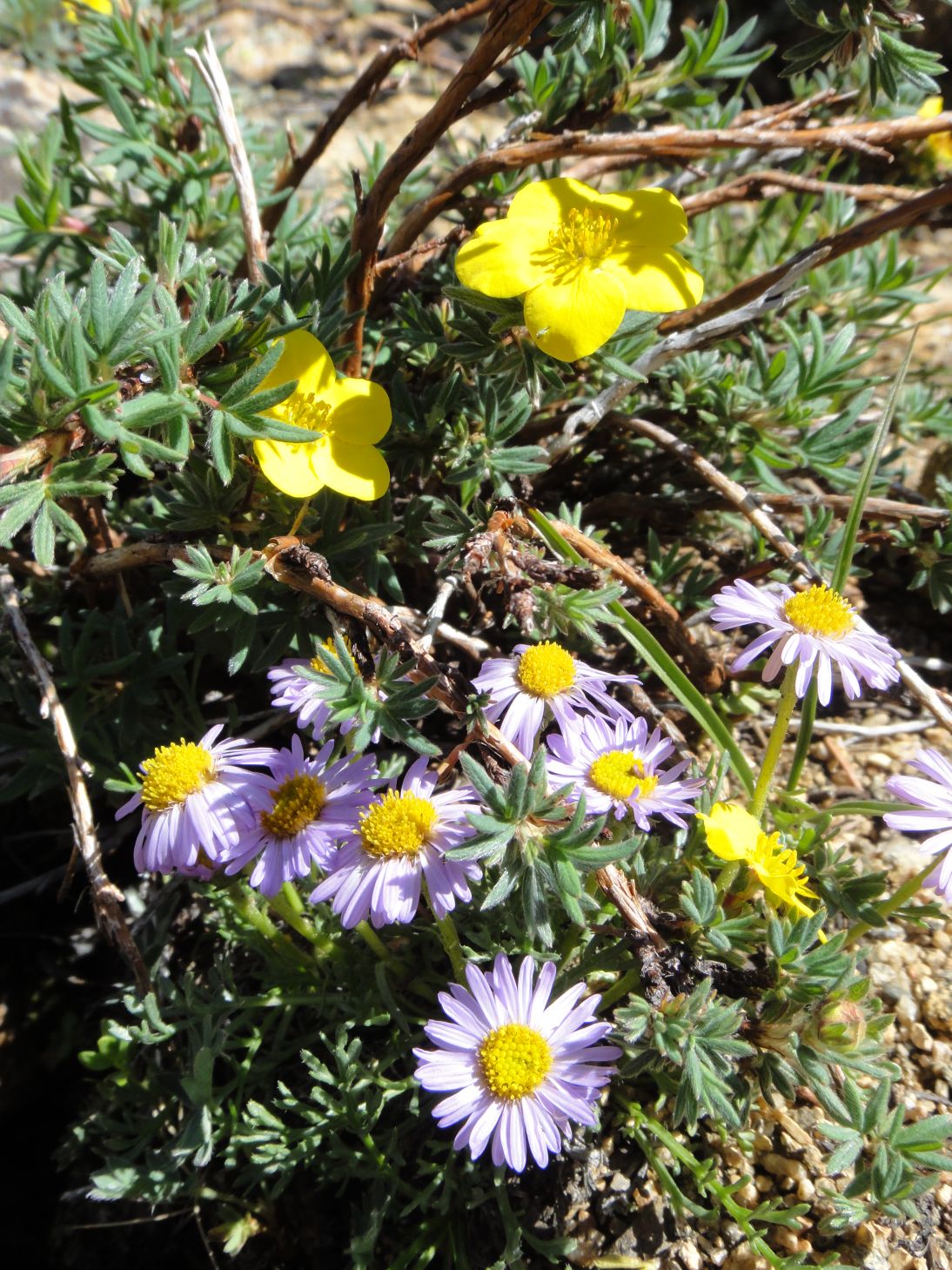
Dan started nodding off as I took in the sights and a snapped a few more photos.
We were discussing ascent routes, and spied a few possibilities. This gully was closest to us, and though it looked a little bit loose, everything did. So we went for it.


The way to The Gable is heavily krumholtzed, and there is no way to avoid it. Just push through. Much to our surprise, as we got closer we noticed three people on top.

We met them as they were descending the talus pile that surrounds The Gable. They were heading on to Gabletop. Conditions looked good for an ascent.

At The Gable, south to Joe Mills Mountain, Half Mountain, and Longs beyond.


We decided to take a more direct route down the slope to arrive back at Spruce Lake. It was bushwhacky and loose, but probably no more so than going back to one of the gullies.


At Spruce Lake, we each put in a guess on how many people we would see on our way back to the trail head. Dan said 50, I said 75. We got to 60 by the time we reached The Pool, and stopped counting. Obviously, we were both going to be under.
We got back to a now crowded parking area 8.5 hours after we left the car. The drive back was the normal Estes Park and 36 in summer.
For an added bonus, I went mountain biking the next day and was able to obtain the summit of Button Rock mountain, giving me three peaks on the week. Not too bad.
While shorter, this hike does entail some heavy bushwhacking, route finding, a fair amount of elevation gain, and a bit of scrambling. Be prepared!
Castle Rock, The Gable, Primrose Pond, and Loomis Lake:
To string these all together gave us an estimated 13 miles and 3300 feet of gain for a strenuous- hike.
Primrose Pond: 5.4 miles one way, 1990 foot gain (8150-10140). Moderate+.
Loomis Lake: 5.6 miles one way, 2070 foot gain (8150-10220). Moderate+.
Castle Rock: 5.7 miles one way, 2490 foot gain (8150-10640+). Second class. Moderate+.
The Gable: 5.8 miles one way, 2890 foot gain (8150-11040+). Second class. Strenuous-.
Along the way you will also pass:
Spruce Lake: 4.8 miles one way, 1510 foot gain (8150-9660). Moderate.
Fern Lake: 3.8 miles one way, 1390 foot gain (8150-9540). Moderate.
Fern Falls: 2.6 miles one way, 650 foot gain (8150-8800). Moderate-.
The Pool: 1.7 miles one way, 150 foot gain (8150-8300). Easy.
Arch Rocks: 1.2 miles one way, 70 foot gain (8150-8220). Easy-.
For added bonus the next day:
Button Rock Mountain: 4.5ish miles one way, 1095 foot gain (7350-8445). Moderate.
No comments:
Post a Comment